Features
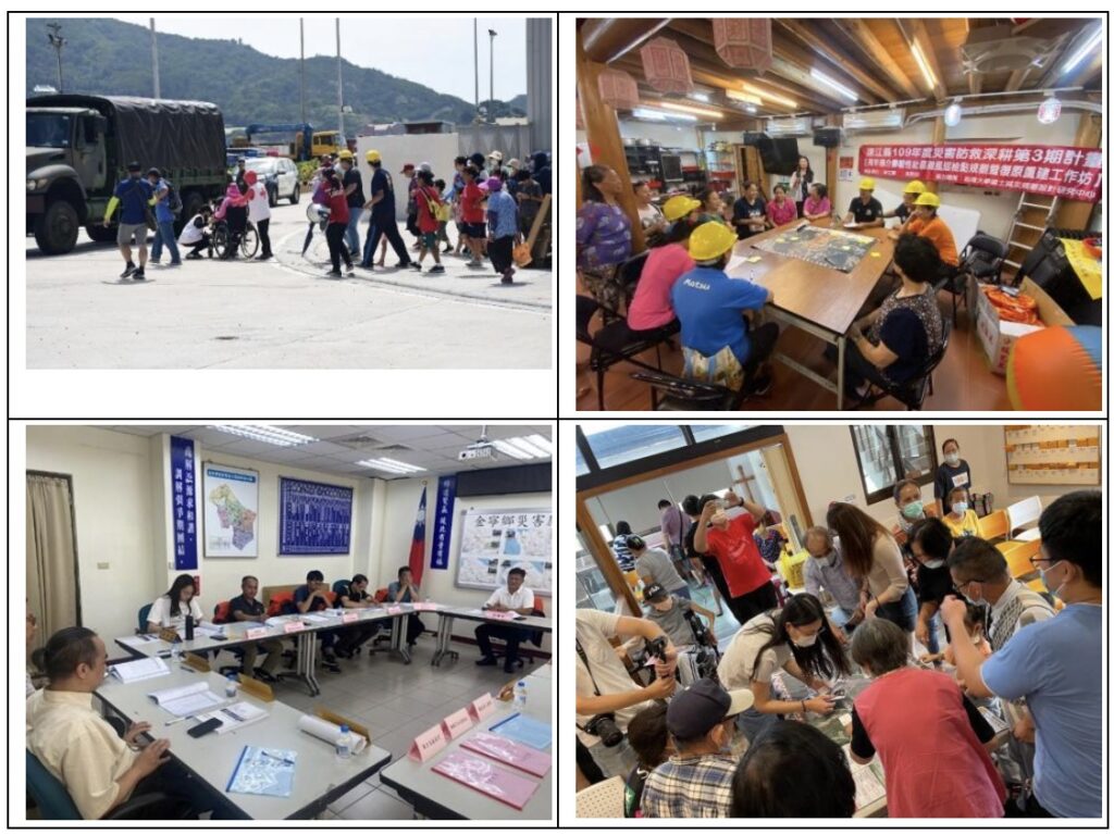
We provide our students with background knowledge of Geographic Information Systems (GIS), teaching them how to use advanced computer software to analyze natural disasters such as flooding and landslides, and how to apply virtual simulation technologies in urban and rural planning. Our library currently holds around 56,545 books and subscribes to 614 academic journals in various languages in this subject area. In addition, during practicums we also provide access to the measuring equipment, drones, GIS software, and multimedia resources.
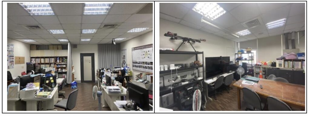
Moreover, we have a number of designated classrooms, equipped for urban/regional planning practicums and disaster management practicums, along with couple seminar rooms for master’s degree students.
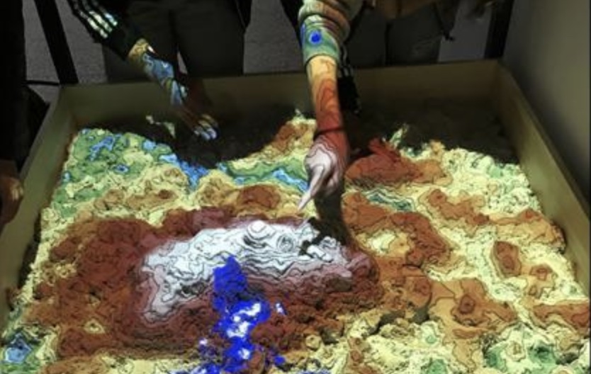
Augmented Reality Sandbox